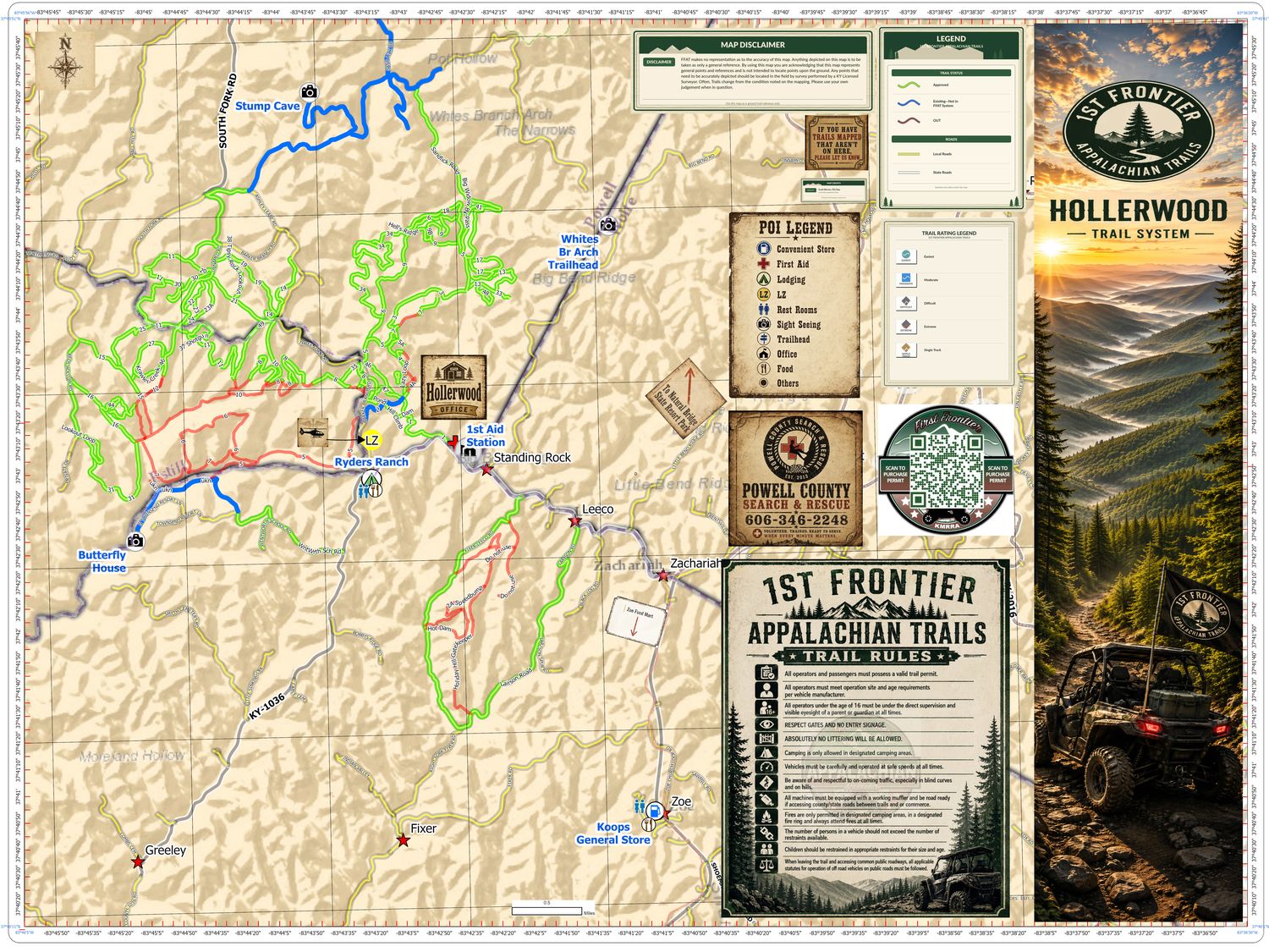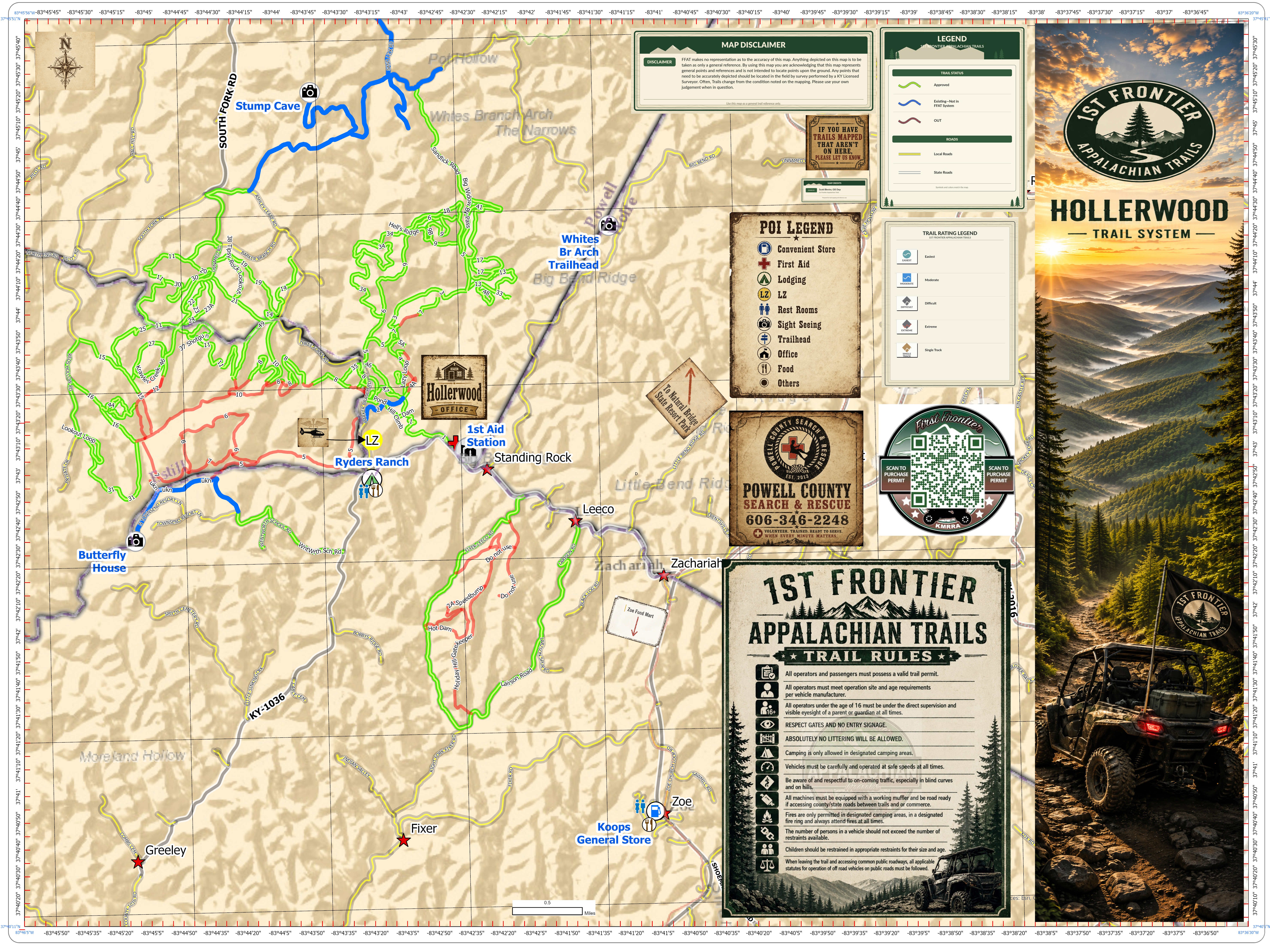
Our trail maps are actively being created and continually edited as the system grows, so they are not yet complete and may contain errors or omissions. Trails, boundaries, and features can change without notice. Please use these maps as a general guide only — ride within permitted areas, obey all posted signs and gates, respect private property, and never rely on a single map for your safety. First Frontier Appalachian Trails and KMRRA assume no liability for inaccuracies. If you spot a mistake, let us know so we can fix it.
The adventure doesn't stop when you park your ride. Our trails connect you to the vibrant culture and welcoming communities of Eastern Kentucky — down-home cooking, cozy campgrounds and cabins, and the rich history of the Country Music Highway. New trails and maps are added constantly, so check back often.
Every First Frontier trail on a single interactive map. Toggle trails below and switch to topo or satellite. Offline downloads are coming soon.
Tip: hover a point to see its name, or click it for details. Click the map to enable scroll-zoom. Map tiles © OpenStreetMap, OpenTopoMap & Esri.
Part of the First Frontier trail system, Hollerwood Offroad Adventure Park spans over 2,500 acres of valleys and ridges near the Red River Gorge and Natural Bridge — every trail an obstacle with breathtaking scenery. Rate your ride from Easiest to Extreme, camp overnight, or book a side-by-side rental.
This isn't just a trail system — it's a journey into the soul of Appalachia. With every mile you ride, you become part of a growing tradition of outdoor recreation that supports our local communities.
Experience the untamed heart of Appalachia on the Fish Pond trail system, a jewel in the crown of First Frontier Appalachian Trails. Situated just off US HWY 119 in Letcher County, this network offers ATV and side-by-side riders a breathtaking journey through a landscape steeped in natural beauty and history.
A lightweight trail track within the First Frontier network. An offline-ready map of this route is on the way — check back soon before you head out of signal range.
The Knott County trail system is a testament to the raw, natural beauty of Eastern Kentucky. Prepare for diverse terrain — from steep, rocky climbs that will test your skills to winding dirt paths that lead deep into serene, wooded hollows. Every twist and turn treats you to stunning vistas of the rolling Appalachian mountains and babbling creeks. This is more than a trail: it's an exploration of a forgotten frontier.
Planning your ride? Don't forget your permit.
Buy Your Trail Permit